With all the buzz around logistics technology like drones, autonomous trucks, and automated warehouses, one mainstream technology — Google Maps — is giving logistics professionals a distinct business advantage.
![]() Thanks to Google Maps street and aerial views, it’s never been easier for both freight shippers and carriers to determine — and verify — location types before booking, dispatching, and shipping freight.
Thanks to Google Maps street and aerial views, it’s never been easier for both freight shippers and carriers to determine — and verify — location types before booking, dispatching, and shipping freight.
For shippers, accurately displaying pickup and delivery location types can help reduce unexpected post-shipment charges that take an inordinate amount of time, energy, and hassle to resolve.
For carriers, being able to verify location types and addresses in advance helps them bill more accurately, as well as send the most appropriate equipment to handle the job. Without this insight, shippers can face substantial fees at a carrier’s discretion.
“No matter how you look at it, technology in logistics is the new normal,” says Sam Ely, uShip‘s director of LTL operations. “Google Maps lets shippers, carriers, and intermediaries speak on common terms about locations types.”
“Before, if there was a question about a location type, the local terminal had to get involved,” says Ely. “Now, centralized customer service operations can validate location types on their own. Google Maps also allows carriers to predetermine what assets are best suited for delivery, and if a liftgate is required.”

Date Testing & E-commerce Impact
The explosion of e-commerce has made verifying location types even more important. Unexpected pickup and delivery locations can create headaches for drivers maneuvering around neighborhoods, and often lead to damaged mailboxes, landscaping and powerlines. Many carriers will refuse servicing residential locations altogether.
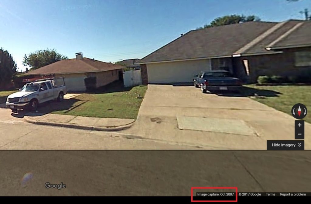
It’s important to remember that views on Google Maps or Google Earth don’t capture location information in real-time. It’s not unusual for an image to be a couple years old, potentially showing an empty lot where a new structure now stands. Fortunately, Google makes it relatively easy to verify imagery dates: street view dates are shown on Google Maps and aerial view dates are shown on Google Earth, as shown in the examples below.

Aerial view date capture as shown on Google EarthIn fact, new e-commerce distribution and fulfillment center construction saw record growth in 2016, and 2017 is on pace to top that. In the first quarter of 2017, industrial tenants signed 69 new leases covering over 5 million square feet, according to a report from real-estate services firm JLL.

Amazon continues to build fulfillment centers at a torrid pace. With its mid-April announcement of three new distribution centers in New Jersey, Amazon now has a distribution center footprint of nearly 250 across the U.S., including over 100 fulfillment and redistribution centers, according to MWPVL International.
Conclusion
With uShip helping shippers book freight the same way they book a flights, tools like Google Maps and Google Earth truly complement the process. By being able to view and verify location types before freight is booked and shipped saves everyone involved the transaction from additional charges and unnecessary hassle post delivery.
[amp-cta id=’8459′]